Hiking Trails
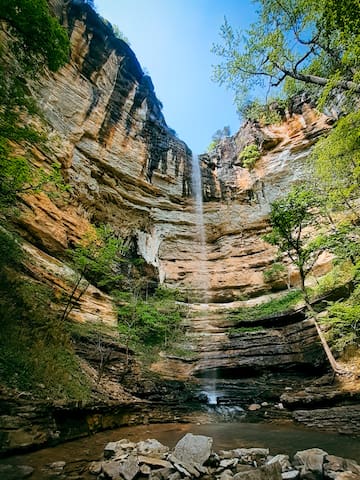
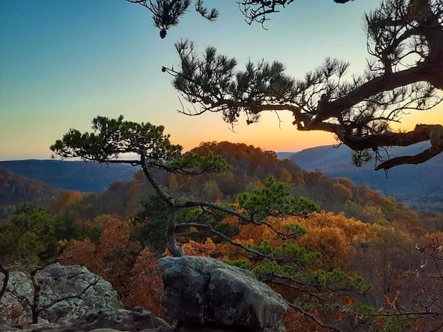
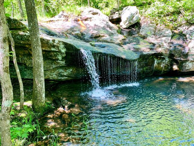
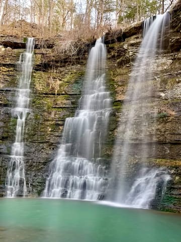
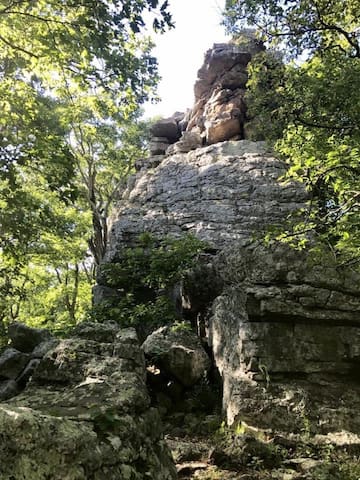
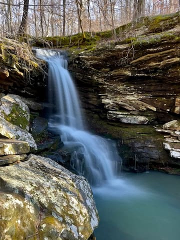
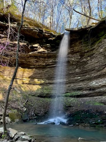
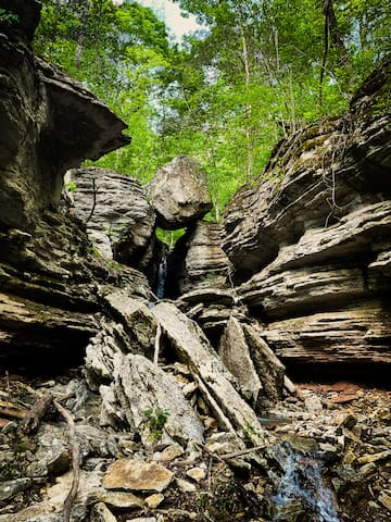
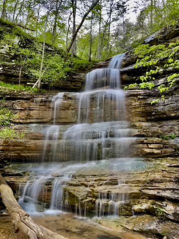
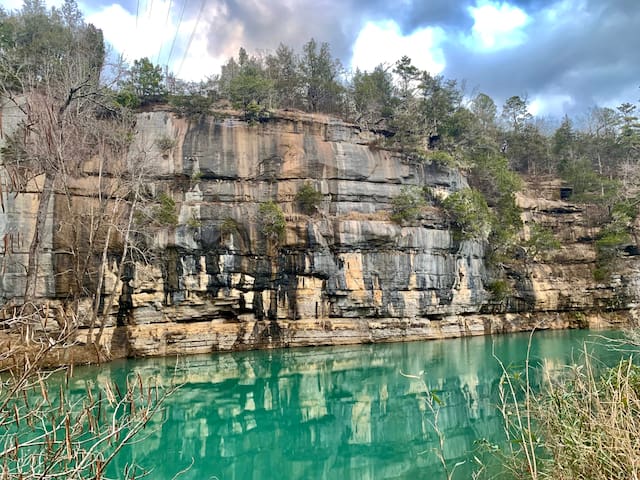
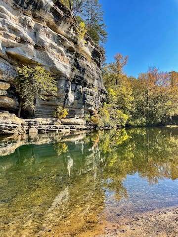
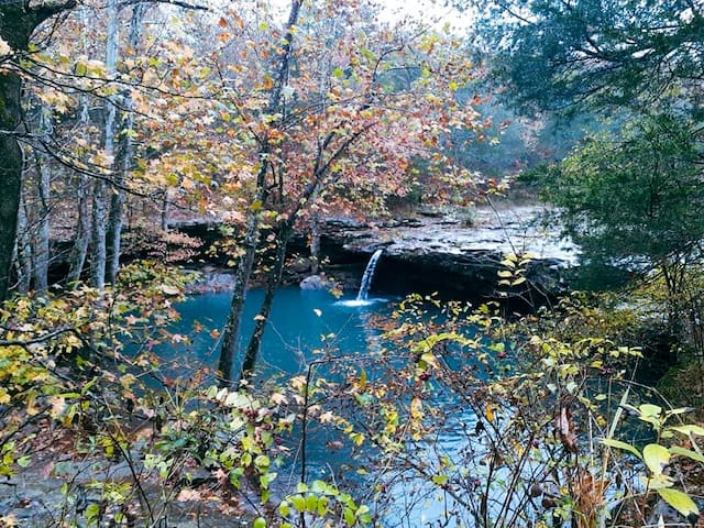
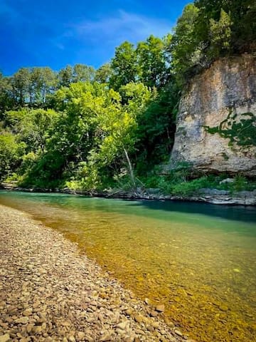
Here are some of our favorite hiking trails that we highly recommend to visitors in the area! The trail ratings are simply guidelines, so please use caution and be aware of your own skill level and limitations while hiking. There is not a cell signal on many of these hiking trails, so be sure to download directions and trail maps ahead of time. All of the photos in this guide were taken by us, but each photo only provides a small glimpse of the incredible views to be seen. It is important to note that the waterfalls in this area are rain-dependent, which means they typically do not flow during the dry summer months. However, that does not take away from the incredible beauty that this area has to offer! Each season offers unique and gorgeous displays, including winter snow, spring wildflowers, lush greenery, and fall colors.
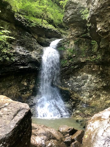
A wonderful hike for people of all ages, this trail hosts numerous interesting features including beautiful creek-side scenery, giant rocks, interesting canyon bluff formations, and lots of wildflowers in the spring. The first feature you will encounter is a 50-foot-long natural bridge that was home to Native Americans. The trail continues to Cobb Cave, Eden Falls (a 50-foot waterfall), and then to Eden Falls Cave. Be sure to bring a flashlight or headlamp to explore the cave—inside of it, you will find a 31-foot waterfall. 2.3 miles, easy-moderate.
8 moradores locais recomendam
Lost Valley Trail
Lost Valley TrailA wonderful hike for people of all ages, this trail hosts numerous interesting features including beautiful creek-side scenery, giant rocks, interesting canyon bluff formations, and lots of wildflowers in the spring. The first feature you will encounter is a 50-foot-long natural bridge that was home to Native Americans. The trail continues to Cobb Cave, Eden Falls (a 50-foot waterfall), and then to Eden Falls Cave. Be sure to bring a flashlight or headlamp to explore the cave—inside of it, you will find a 31-foot waterfall. 2.3 miles, easy-moderate.
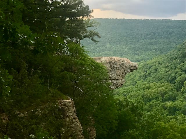
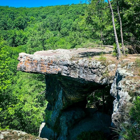
Another great hike, this trail features beautiful scenery, a waterfall area, magnolia blooms and wildflowers in the spring, and a magnificent bluff overlooking a huge valley. The “crag” is a rock formation that juts out from the face of the bluff, and it’s the most photographed spot in Arkansas. Be aware that you must drive on a steep, rough dirt road for six miles to the trailhead (which may be difficult in low-clearance vehicles). 2.9 miles, moderate. Dogs allowed.
59 moradores locais recomendam
Hawk's Bill Crag/Whitaker Point
County Road 406Another great hike, this trail features beautiful scenery, a waterfall area, magnolia blooms and wildflowers in the spring, and a magnificent bluff overlooking a huge valley. The “crag” is a rock formation that juts out from the face of the bluff, and it’s the most photographed spot in Arkansas. Be aware that you must drive on a steep, rough dirt road for six miles to the trailhead (which may be difficult in low-clearance vehicles). 2.9 miles, moderate. Dogs allowed.
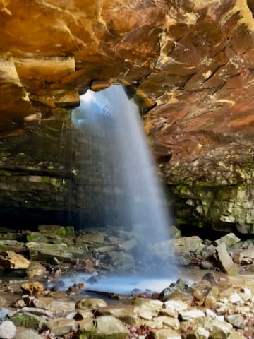
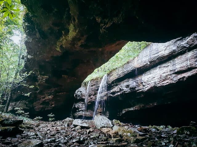
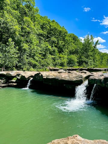
This trail has a very unique feature. Nature created a round hole in the roof of an overhanging bluff, and a creek flows through the hole to create a 30-foot waterfall. Use caution when climbing to the base of the falls, as the rocks can be quite slippery. 1.9 miles, moderate. Dogs allowed.
Glory Hole Falls
This trail has a very unique feature. Nature created a round hole in the roof of an overhanging bluff, and a creek flows through the hole to create a 30-foot waterfall. Use caution when climbing to the base of the falls, as the rocks can be quite slippery. 1.9 miles, moderate. Dogs allowed.
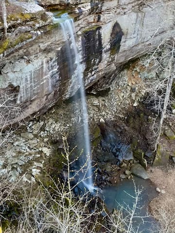
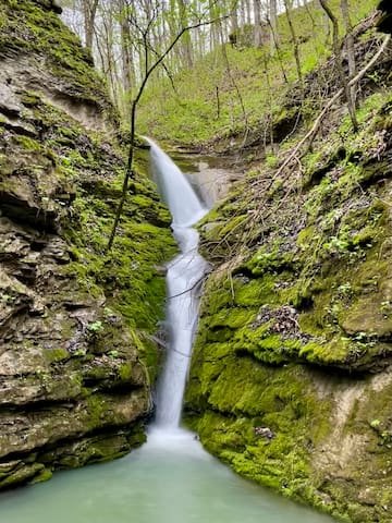
One of our personal favorites, Sweden Creek Natural Area is protected by the National Heritage Foundation and features scenic bluff lines, spring wildflowers, and an 81-foot waterfall. Not far from the trailhead, the main trail splits into two separate trails. The upper trail will lead you to a bluff looking down over the waterfall, and the lower trail will lead you to the base of the waterfall. 1.5 miles, easy-moderate. Dogs allowed.
11 moradores locais recomendam
Sweden Creek Falls
697 Madison 3795One of our personal favorites, Sweden Creek Natural Area is protected by the National Heritage Foundation and features scenic bluff lines, spring wildflowers, and an 81-foot waterfall. Not far from the trailhead, the main trail splits into two separate trails. The upper trail will lead you to a bluff looking down over the waterfall, and the lower trail will lead you to the base of the waterfall. 1.5 miles, easy-moderate. Dogs allowed.
Another one of our personal favorites, Pedestal Rocks Trail features unusual geological formations, caves, and fantastic views from the tops of magnificent stone towers. 2.5 miles, moderate. Dogs allowed.
18 moradores locais recomendam
Pedestal Rocks & Kings Bluff Trailhead
Arkansas 16Another one of our personal favorites, Pedestal Rocks Trail features unusual geological formations, caves, and fantastic views from the tops of magnificent stone towers. 2.5 miles, moderate. Dogs allowed.
Smith Creek Trail is a 5.7-mile loop; however, there are other trails that provide shorter options for exploring this beautiful nature preserve. Be sure to check out the 1.6-mile trail that begins at the parking lot and leads to Elise Falls, a 21-foot waterfall. Smith Creek features many large boulders, cascades, and reflecting pools. It is also known for its spectacular spring wildflower bloom. 5.7 miles, easy-moderate. Dogs allowed.
Smith Creek
Smith Creek Trail is a 5.7-mile loop; however, there are other trails that provide shorter options for exploring this beautiful nature preserve. Be sure to check out the 1.6-mile trail that begins at the parking lot and leads to Elise Falls, a 21-foot waterfall. Smith Creek features many large boulders, cascades, and reflecting pools. It is also known for its spectacular spring wildflower bloom. 5.7 miles, easy-moderate. Dogs allowed.
This short loop trail features one of the largest natural rock bridges in this part of the country, at 130 feet long and 12 feet thick. During the wet season, there are waterfalls that flow behind the bridge. There are also neat cave areas to explore. 1.1 miles, easy-moderate. Dogs allowed.
6 moradores locais recomendam
Alum Cove Natural Bridge
This short loop trail features one of the largest natural rock bridges in this part of the country, at 130 feet long and 12 feet thick. During the wet season, there are waterfalls that flow behind the bridge. There are also neat cave areas to explore. 1.1 miles, easy-moderate. Dogs allowed.
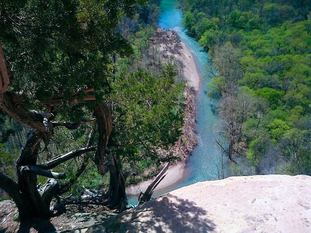
Not for the faint of heart, this trail begins at the Centerpoint Trailhead and descends straight down to Big Bluff, the tallest bluff along the Buffalo National River at over 500 feet tall. There is a side trail that leads to an outcropping in the bluff called Goat Trail, and it features a fantastic view of the river below. Use extreme caution when hiking the Goat Trail, as it is very narrow and dangerous (not recommended for kids). The climb out to the top is steep and strenuous. 5.9 miles, difficult.
8 moradores locais recomendam
Big Bluff/Goat Trail
Not for the faint of heart, this trail begins at the Centerpoint Trailhead and descends straight down to Big Bluff, the tallest bluff along the Buffalo National River at over 500 feet tall. There is a side trail that leads to an outcropping in the bluff called Goat Trail, and it features a fantastic view of the river below. Use extreme caution when hiking the Goat Trail, as it is very narrow and dangerous (not recommended for kids). The climb out to the top is steep and strenuous. 5.9 miles, difficult.
This challenging trail begins at the Compton Trailhead and leads to a 210-foot waterfall, the tallest waterfall between the Appalachians and the Rockies. Please be aware that the trail descends for 2.5 miles, and the climb back out to the trailhead is steep and strenuous, so plan accordingly. During canoe season, Hemmed-In-Hollow Falls is accessible via a moderate, 0.5-mile trail from the Buffalo River, in between Steel Creek and Kyle’s Landing (about 1-mile past Jim Bluff, you will see a pull-off spot to the left with a small sign for the trail). 5.7 miles, difficult.
24 moradores locais recomendam
Hemmed-In Hollow Falls
This challenging trail begins at the Compton Trailhead and leads to a 210-foot waterfall, the tallest waterfall between the Appalachians and the Rockies. Please be aware that the trail descends for 2.5 miles, and the climb back out to the trailhead is steep and strenuous, so plan accordingly. During canoe season, Hemmed-In-Hollow Falls is accessible via a moderate, 0.5-mile trail from the Buffalo River, in between Steel Creek and Kyle’s Landing (about 1-mile past Jim Bluff, you will see a pull-off spot to the left with a small sign for the trail). 5.7 miles, difficult.
This wonderful, scenic trail features incredible rock formations and fantastic views of the Big Creek Valley. It is a premier rock-climbing destination, attracting climbers from all over the world. If you decide to rock climb, please use extreme caution, as this area is very dangerous. 2.6 miles, moderate-difficult. Dogs allowed.
25 moradores locais recomendam
Sam's Throne
This wonderful, scenic trail features incredible rock formations and fantastic views of the Big Creek Valley. It is a premier rock-climbing destination, attracting climbers from all over the world. If you decide to rock climb, please use extreme caution, as this area is very dangerous. 2.6 miles, moderate-difficult. Dogs allowed.
This lesser-known trail leads to beautiful views from the top of a bluff and a 37-foot waterfall. It also features lovely wild azaleas in bloom during the spring. 2 miles, moderate.
Hideout Hollow
This lesser-known trail leads to beautiful views from the top of a bluff and a 37-foot waterfall. It also features lovely wild azaleas in bloom during the spring. 2 miles, moderate.
Located at Camp Orr Boy Scout Camp, Twin Falls/Triple Falls is a very short trail that leads to an amazing set of 48-foot waterfalls. Please be aware that the 2.8-mile dirt road leading to Camp Orr is very rough and steep, and not recommended for 2-wheel-drive vehicles. 0.3 miles, easy.
Camp Orr
Located at Camp Orr Boy Scout Camp, Twin Falls/Triple Falls is a very short trail that leads to an amazing set of 48-foot waterfalls. Please be aware that the 2.8-mile dirt road leading to Camp Orr is very rough and steep, and not recommended for 2-wheel-drive vehicles. 0.3 miles, easy.
This trail has a unique history. It features the remains of a WWII bomber plane that crashed there in 1948, along with incredible views of the Little Buffalo River Valley. 3.6 miles, moderate. Dogs allowed.
24 moradores locais recomendam
Round Top Mountain Trail
This trail has a unique history. It features the remains of a WWII bomber plane that crashed there in 1948, along with incredible views of the Little Buffalo River Valley. 3.6 miles, moderate. Dogs allowed.
A great hike for all ages, Magnolia Falls is a relatively easy trail that features a beautiful, 26-foot waterfall. 2.1 miles, easy-moderate. Dogs allowed.
Magnolia Falls
A great hike for all ages, Magnolia Falls is a relatively easy trail that features a beautiful, 26-foot waterfall. 2.1 miles, easy-moderate. Dogs allowed.
Another great hike for all ages, Hammerschmidt Falls is a short, relatively easy hiking trail that features a lovely 43-foot waterfall. It is especially pretty in the spring with the redbud trees are blooming. The trailhead is located on Hwy 74 across from Horseshoe Canyon Ranch, so it is easily accessible with any type of vehicle. 0.7 miles, easy-moderate.
Hammerschmidt trailhead
Arkansas 74Another great hike for all ages, Hammerschmidt Falls is a short, relatively easy hiking trail that features a lovely 43-foot waterfall. It is especially pretty in the spring with the redbud trees are blooming. The trailhead is located on Hwy 74 across from Horseshoe Canyon Ranch, so it is easily accessible with any type of vehicle. 0.7 miles, easy-moderate.
Balanced Rock Falls is a “hidden-gem” hiking trail that features beautiful creek-side scenery, the remnants of an old homestead, and a gigantic boulder that is precariously perched over a waterfall. The trailhead is located at the Ponca Low Water Bridge, so it is easily accessible with any type of vehicle. 1.1 miles, easy-moderate.
9 moradores locais recomendam
Ponca Low-Water Bridge
Balanced Rock Falls is a “hidden-gem” hiking trail that features beautiful creek-side scenery, the remnants of an old homestead, and a gigantic boulder that is precariously perched over a waterfall. The trailhead is located at the Ponca Low Water Bridge, so it is easily accessible with any type of vehicle. 1.1 miles, easy-moderate.
Liles Falls is another hike that is great for all ages. This short trail features a 41-foot waterfall that is best viewed after a big rain. The trailhead is located off of the Erbie Campground Rd. 0.2 miles, easy-moderate.
Erbie Campground Road
Erbie Campground RoadLiles Falls is another hike that is great for all ages. This short trail features a 41-foot waterfall that is best viewed after a big rain. The trailhead is located off of the Erbie Campground Rd. 0.2 miles, easy-moderate.
Restaurants
Here are some of our favorite local restaurants that we recommend to guests.
Located on Hwy 74 in between Ponca and Jasper, Low Gap Cafe features American and Italian cuisine. Nicknamed “The Friendliest Place in Town,” this small, hole-in-the-wall restaurant was actually founded by a famous chef from New York City. We highly recommend eating dinner there! Open Wednesday-Sunday.
63 moradores locais recomendam
Low Gap Cafe
603 East StreetLocated on Hwy 74 in between Ponca and Jasper, Low Gap Cafe features American and Italian cuisine. Nicknamed “The Friendliest Place in Town,” this small, hole-in-the-wall restaurant was actually founded by a famous chef from New York City. We highly recommend eating dinner there! Open Wednesday-Sunday.
Ozark Cafe is located in Downtown Jasper. Founded in 1909, this historic diner features burgers, steaks, breakfast, and milkshakes. We highly recommend eating breakfast there! Open daily.
69 moradores locais recomendam
Ozark Cafe
107 E Court StOzark Cafe is located in Downtown Jasper. Founded in 1909, this historic diner features burgers, steaks, breakfast, and milkshakes. We highly recommend eating breakfast there! Open daily.
Located in Historic Downtown Harrison, this quaint little diner features breakfast, sandwiches, and a variety of homemade pies. There are a lot of vegetarian and gluten-free options on the menu. We highly recommend eating breakfast there! Open Monday-Saturday, 7am-2pm.
7 moradores locais recomendam
Townhouse Cafe
119 W Rush AveLocated in Historic Downtown Harrison, this quaint little diner features breakfast, sandwiches, and a variety of homemade pies. There are a lot of vegetarian and gluten-free options on the menu. We highly recommend eating breakfast there! Open Monday-Saturday, 7am-2pm.
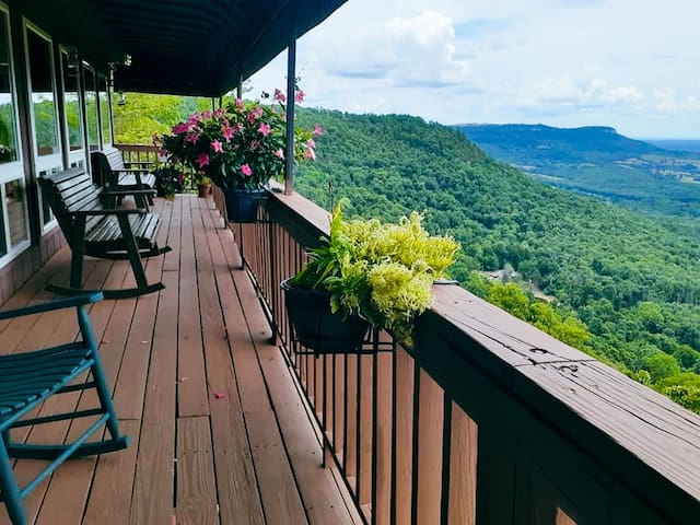
Located south of Jasper on Hwy 7, Cliff House Inn features classic American fare and fantastic views of the Arkansas Grand Canyon, the deepest valley in Arkansas. Open Tuesday-Sunday.
37 moradores locais recomendam
Cliff House Inn
Arkansas 7Located south of Jasper on Hwy 7, Cliff House Inn features classic American fare and fantastic views of the Arkansas Grand Canyon, the deepest valley in Arkansas. Open Tuesday-Sunday.
Located on Hwy 43 in Compton, JB’s is a store that serves breakfast, sandwiches, chili, burgers, and other to-go items, along with an assortment of camping and outdoor gear. Open daily.
7 moradores locais recomendam
JB Trading Co
12677 AR-43Located on Hwy 43 in Compton, JB’s is a store that serves breakfast, sandwiches, chili, burgers, and other to-go items, along with an assortment of camping and outdoor gear. Open daily.
Located in Harrison, Brick Oven Pizza Company features old-fashioned pizza and an in-house brewery. Open daily.
19 moradores locais recomendam
Brick Oven Pizza Co. of Harrison
814 U.S. 62Located in Harrison, Brick Oven Pizza Company features old-fashioned pizza and an in-house brewery. Open daily.
Nopalitos Grill
710 U.S. 62Located in Harrison, Nopalitos offers a variety of Mexican dishes. Open daily.
Located in Harrison, New Tokyo features a variety of Japanese dishes, including sushi and a hibachi grill.
New Tokyo Harrison
1428 U.S. 62Located in Harrison, New Tokyo features a variety of Japanese dishes, including sushi and a hibachi grill.
Attractions
While hiking and floating the Buffalo National River are the most popular things to do in this area, there are many other attractions for the entire family to enjoy!
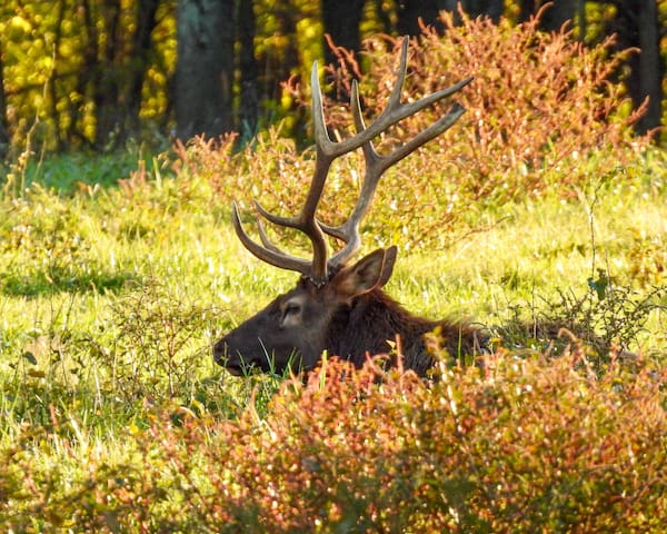
The Arkansas Elk Herd is a huge attraction to this area. The elk reside in the Historic Boxley Valley. The best time to view the elk are on cool days, around the time of dusk or dawn.
33 moradores locais recomendam
Boxley Valley Historic District
4699 AR-43The Arkansas Elk Herd is a huge attraction to this area. The elk reside in the Historic Boxley Valley. The best time to view the elk are on cool days, around the time of dusk or dawn.
A great activity for kids, the Ponca Elk Education Center hosts a variety of hands-on, educational exhibits in which visitors can learn about the elk and other wildlife in this area. For more information, visit PoncaEEC.com. Free. Open Tuesday-Saturday.
14 moradores locais recomendam
Ponca Elk Education Center
4642 AR-43A great activity for kids, the Ponca Elk Education Center hosts a variety of hands-on, educational exhibits in which visitors can learn about the elk and other wildlife in this area. For more information, visit PoncaEEC.com. Free. Open Tuesday-Saturday.
A dude ranch that offers several different activities such as horseback riding, ziplining, and world-renowned rock-climbing. For more information, visit HorseshoeCanyonDudeRanch.com. Call 800-480-9635 for rates and hours.
12 moradores locais recomendam
Horseshoe Canyon Ranch
261A dude ranch that offers several different activities such as horseback riding, ziplining, and world-renowned rock-climbing. For more information, visit HorseshoeCanyonDudeRanch.com. Call 800-480-9635 for rates and hours.
Visit Wilderness Rider Adventure Park to rent ATVs and explore over 3,000 acres of trails. Guided tours are available. There is also a herd of buffalo that live on the property. For more information, visit WildernessRider.com. Rentals start at $349 for 3.5 hours. Open daily.
10 moradores locais recomendam
Wilderness Rider Buffalo Ranch & Adventure Park
Visit Wilderness Rider Adventure Park to rent ATVs and explore over 3,000 acres of trails. Guided tours are available. There is also a herd of buffalo that live on the property. For more information, visit WildernessRider.com. Rentals start at $349 for 3.5 hours. Open daily.
A huge theme park located in Branson, MO, Silver Dollar City features over 40 rides and attractions, a water park, 100 craftsmen, and award-winning food and entertainment. For more information, visit SilverDollarCity.com. Tickets start at $74 per person+tax. Open daily.
390 moradores locais recomendam
Cidade do Dólar de Prata
399 Silver Dollar City PkwyA huge theme park located in Branson, MO, Silver Dollar City features over 40 rides and attractions, a water park, 100 craftsmen, and award-winning food and entertainment. For more information, visit SilverDollarCity.com. Tickets start at $74 per person+tax. Open daily.
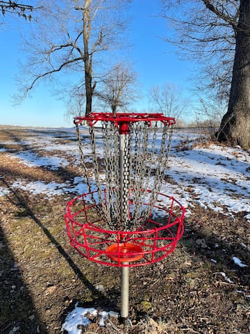
This is a great disc golf course for people of all skill levels. It features a variety of open shots as well as wooded, technical shots.
North Arkansas College
1515 Pioneer DriveThis is a great disc golf course for people of all skill levels. It features a variety of open shots as well as wooded, technical shots.
Swimming Holes
There are countless swimming holes along the Buffalo National River, but here are some of our personal favorites! Please be aware that the river can rise rapidly with little warning, and currents can be strong at times. Use extreme caution if you decide to jump into the river from large rocks or bluffs.
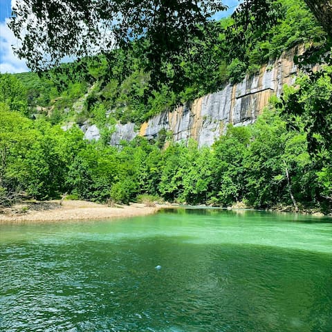
Located between Ponca and Jasper on Hwy 74, Steel Creek Campground features two swimming holes and the largest stretch of bluff line (3/4 mile) along the entire Buffalo National River. Follow the pathway to the river from the camping area on the left to get to one swimming hole, or follow the pathway to the river across the field on the right to get to the other one. There are flush restrooms and picnic tables. We highly recommend visiting Steel Creek to swim, have a picnic, relax, and enjoy the scenery!
30 moradores locais recomendam
Steel Creek Campground
Buffalo River TrailLocated between Ponca and Jasper on Hwy 74, Steel Creek Campground features two swimming holes and the largest stretch of bluff line (3/4 mile) along the entire Buffalo National River. Follow the pathway to the river from the camping area on the left to get to one swimming hole, or follow the pathway to the river across the field on the right to get to the other one. There are flush restrooms and picnic tables. We highly recommend visiting Steel Creek to swim, have a picnic, relax, and enjoy the scenery!
Located on Hwy 43 in Ponca, the Ponca Low Water Bridge is a nice place for wading and fishing. Be sure to check out the Balanced Rock Trail while you are there!
9 moradores locais recomendam
Ponca Low-Water Bridge
Located on Hwy 43 in Ponca, the Ponca Low Water Bridge is a nice place for wading and fishing. Be sure to check out the Balanced Rock Trail while you are there!
Located off Hwy 16, Kings River Falls is a popular swimming hole with a waterfall. There is an easy, 1.8-mile hiking trail to get to the swimming hole.
12 moradores locais recomendam
Kings River Falls Natural Area
1543 Madison 3500Located off Hwy 16, Kings River Falls is a popular swimming hole with a waterfall. There is an easy, 1.8-mile hiking trail to get to the swimming hole.
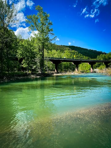
Located between Harrison and Jasper on Hwy 7, Pruitt Landing is easily accessible and features two swimming holes, one on either side of the bridge.
10 moradores locais recomendam
Pruitt Landing
County Road 472Located between Harrison and Jasper on Hwy 7, Pruitt Landing is easily accessible and features two swimming holes, one on either side of the bridge.
Located north of Jasper off Hwy 7, Ozark Campground features a beautiful swimming hole and an outdoor pavilion with restrooms and picnic tables.
Ozark Campground
County Road 129Located north of Jasper off Hwy 7, Ozark Campground features a beautiful swimming hole and an outdoor pavilion with restrooms and picnic tables.
Located off of Hwy 16 near Witts Springs, this is another popular and easily-accessible swimming hole that features a waterfall.
15 moradores locais recomendam
Falling Waters Waterfalls
Located off of Hwy 16 near Witts Springs, this is another popular and easily-accessible swimming hole that features a waterfall.
Another local favorite, Shine Eye is a nice swimming hole that is located on Hwy 65 in between Gilbert and Grinder’s Ferry River Access.
Shine Eye Campground
Another local favorite, Shine Eye is a nice swimming hole that is located on Hwy 65 in between Gilbert and Grinder’s Ferry River Access.
Float Trips
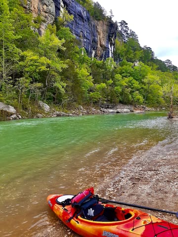
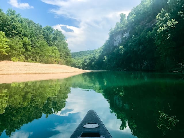
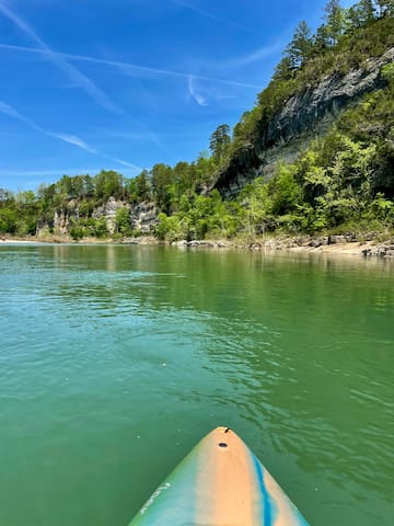
The Buffalo National River is the most popular attraction to this area, and visitors come from all over the world to “float” (canoe or kayak) down the river. The river is divided into three sections: Upper, Middle, and Lower. Our rental properties are located near the Upper Buffalo River. Float season is from March-June. Since the river is entirely rain-dependent, the water levels are typically too low to float this section at other times of the year. However, visitors can often float the Middle and Lower sections of the river through the late summer months, and even into the fall or winter months at times. Please be aware that the river can rise rapidly with little warning, and currents can be strong at times. Use extreme caution if you decide to float the river and take all appropriate safety precautions, such as wearing a life jacket.
The 10.7 mile float trip from Ponca to Kyle’s Landing is the most popular and the most scenic float on the Buffalo National River, featuring Big Bluff (the tallest bluff along the river at over 500 feet tall), Hemmed-In-Hollow Falls (the tallest waterfall between the Appalachians and the Rockies at 210 feet tall). We do not personally recommend this float trip to families with young children, as there are fast-moving rapids in some spots, and hidden rocks underneath the surface of the water that can easily tip over a canoe or kayak.
27 moradores locais recomendam
Ponca
The 10.7 mile float trip from Ponca to Kyle’s Landing is the most popular and the most scenic float on the Buffalo National River, featuring Big Bluff (the tallest bluff along the river at over 500 feet tall), Hemmed-In-Hollow Falls (the tallest waterfall between the Appalachians and the Rockies at 210 feet tall). We do not personally recommend this float trip to families with young children, as there are fast-moving rapids in some spots, and hidden rocks underneath the surface of the water that can easily tip over a canoe or kayak.
Pruitt to Hasty is my personal favorite section of the river to float! This 6.8 mile float trip features majestic bluff lines and several nice swimming holes, and it is a much milder float trip than Ponca-Kyle’s (with less rapids). Concessionaires launch from Pruitt when the river is too low to float from Ponca-Kyle’s.
10 moradores locais recomendam
Pruitt Landing
County Road 472Pruitt to Hasty is my personal favorite section of the river to float! This 6.8 mile float trip features majestic bluff lines and several nice swimming holes, and it is a much milder float trip than Ponca-Kyle’s (with less rapids). Concessionaires launch from Pruitt when the river is too low to float from Ponca-Kyle’s.
The 5.6 mile float from Tyler Bend to Gilbert is perfect for beginners and families with children, as the river is typically calmer with less rapids. This float trip is located on the Middle section of the river, which is typically floatable later in the summer when water levels are too low on the Upper section. This float trip features beautiful bluff lines and a cave that you can float into, so it does not disappoint!
Tyler Bend Campground
The 5.6 mile float from Tyler Bend to Gilbert is perfect for beginners and families with children, as the river is typically calmer with less rapids. This float trip is located on the Middle section of the river, which is typically floatable later in the summer when water levels are too low on the Upper section. This float trip features beautiful bluff lines and a cave that you can float into, so it does not disappoint!

